Geographical Map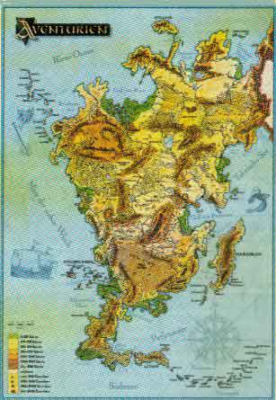 |
Political Map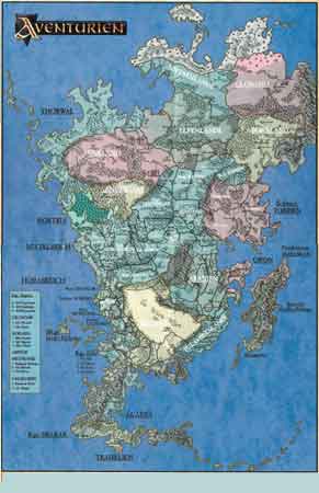 |
| Back: to | HoTT/Aventuria page | my Wargaming Page | my Main Page |
|
|
|
Geographical Map |
Political Map |
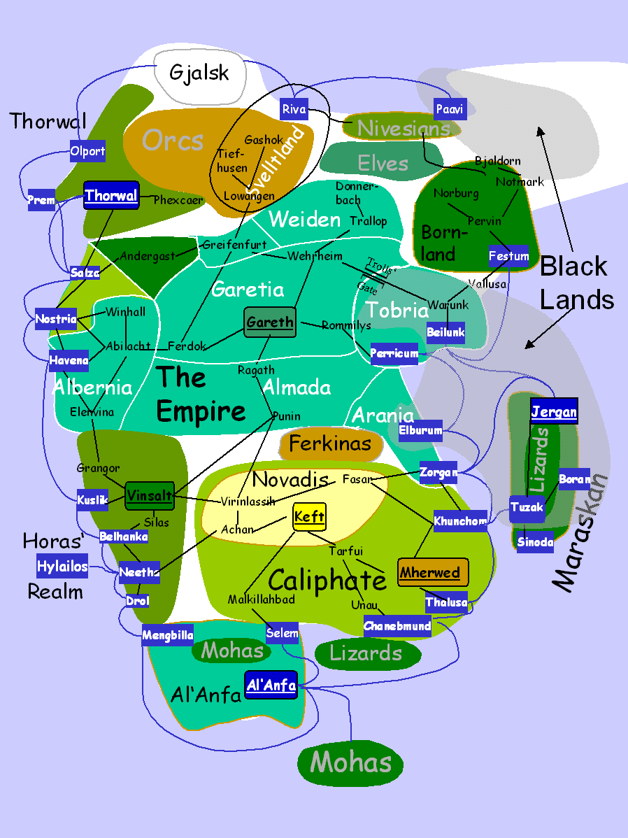
HOTT Campaign Map |
|
| This is a map of Aventuria simplified for a HoTT style
campaign.
Only mayor cities and routes are shown. Ports are shown in white on blue fields. Only the shortest naval routes are shown. Thorwal, Empire, Horas' Realm and Al'Anfa have good fleets. Their forces can move from any port to any other. The Empire is shown at its greatest extent. Even in the 3 decades described in the chronology, the status of various provinces changed. The outer provinces are virtually independent. Nostria and Andergast, for example, have had little to do with the emperor for a long, long time - and are constantly at each other's throat. |
| A set of historical maps of Aventuria since the fall of the Bosparan empire can be found here (with German text) |
Back to DSA/Hott Main Page
Maps on this page: Copyright by FASA (US)/Fantasy Productions (DE)